
Map of the Earth
This spectacular 'Blue Marble' image is the most detailed true-color image of the entire Earth to date. Using a collection of satellite-based observations, scientists and visualizers stitched together months of observations of the land surface, oceans, sea ice, and clouds into a seamless, true-color mosaic of every square kilometer (0.386 square mile) of our planet.
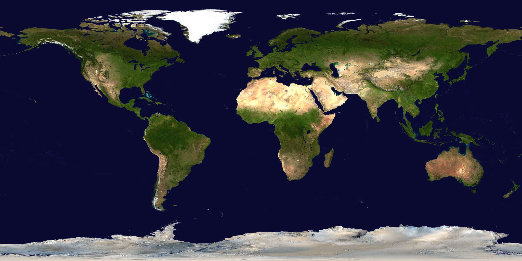
Source: NASA/Goddard Space Flight Center Scientific Visualization Studio The Blue Marble Next Generation data is courtesy of Reto Stockli (NASA/GSFC) and NASA's Earth Observatory. The Blue Marble data is courtesy of Reto Stockli (NASA/GSFC)..
https://svs.gsfc.nasa.gov/2915
https://svs.gsfc.nasa.gov/2915
License: Public Domain. If you are going to redistribute this image online, a hyperlink to the above source page is mandatory.
© 2007–2024 XoaX.net LLC. All rights reserved.